
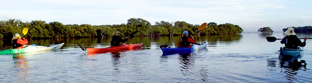
Smiths Lake - Port Stephens–Great Lakes Marine Park
Smiths Lake lies within the Port Stephens–Great Lakes Marine Park, falls across Crown Land, and is covered by a dedicated Boating Plan of Management.
The lake is divided into four zones — knowing which rules apply, and who enforces them, makes time on the lake better for everyone, especially when each zone has different rules around fishing, boating, and access:
- Sanctuary Zone — the western basin, including Wamwarra Bay and the waters around Big Island. Highest level of habitat protection. No commercial or recreational fishing.
- General Use Zone — the main body of the lake. Recreational and commercial fishing permitted under marine park conditions.
- Habitat Protection Zone — Tarbuck Bay (north) and Symes Bay (north-east). Reduced-impact activities only.
- Special Purpose Zone — a small area at Horse Point on the southern foreshore.
Port Stephens – Great Lakes Marine Park (established 2005, zones operational from 2007)
Smiths Lake - Marine Park Zoning
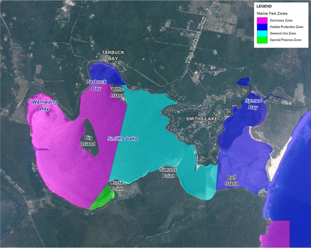
Source: MidCoast Council — Marine Park zones for Smiths Lake.
For the authoritative state-wide zoning, consult the NSW DPI Port Stephens–Great Lakes Marine Park Zoning — the gazetted source.
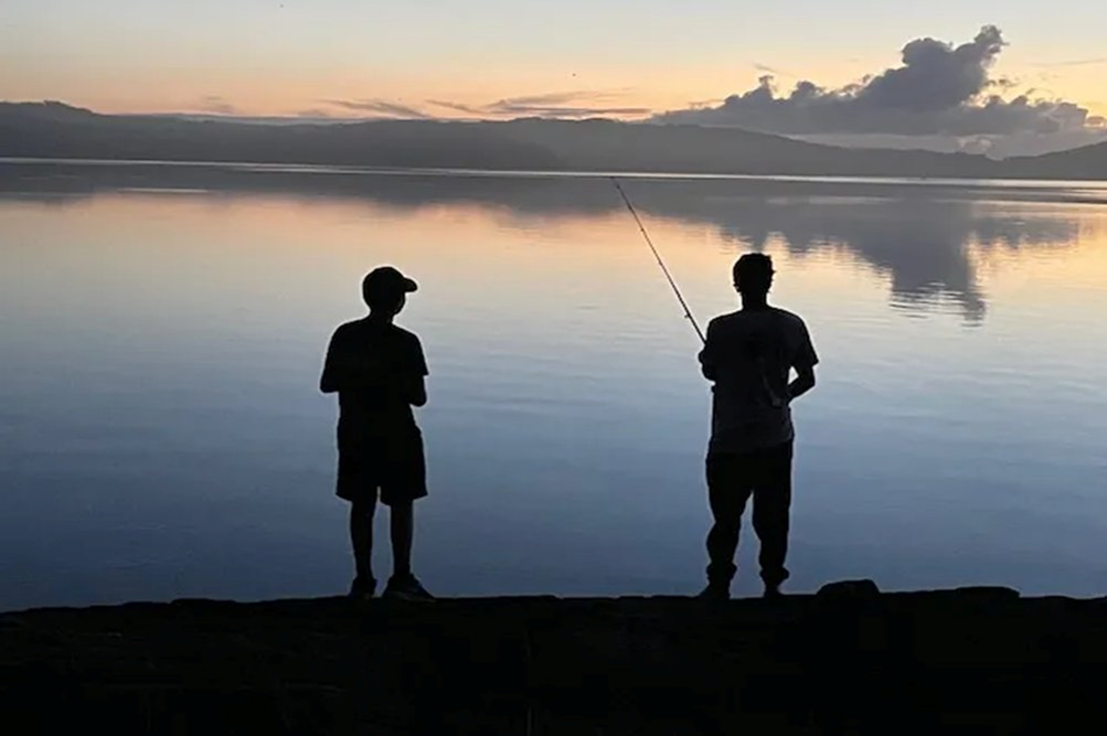
Fishing — what's permitted, where
Fishing regulations changed when the marine park was declared, and were revised again in June 2018 for ocean beaches and headlands. Residents and visitors should check current rules through the Marine Park Zoning Map, the User Guide, or the FishSmart NSW app before fishing — all available from NSW Department of Primary Industries (Fisheries).
Smiths Lake Boating Plan of Management
A dedicated Boating Plan of Management sets speed zones and waterway use rules across the lake. The plan is implemented through community education and compliance powers under the Protection of the Environment Operations Act 1997. MidCoast Council and NSW Maritime (Transport for NSW) share oversight responsibilities.
Crown Land
The bed of the lake, its banks, and the entrance area are Crown Land, administered by Crown Lands, NSW Department of Planning, Housing and Infrastructure. Any works on Crown Land — including the artificial opening of the lake entrance — require an authorisation or licence from Crown Lands before they can proceed.
4WD and Foreshore Access
Vehicle access to foreshore areas is restricted. Bollards and signage control 4WD access at key points including Sandbar Road and Wamwarra Bay. Unauthorised vehicle access onto sandy lake edges and foreshore habitats damages saltmarsh, wetlands, and dune systems — Endangered Ecological Communities under NSW law. Compliance is monitored; enforcement is ongoing.
Boat Launching and Storage
Constructed boat ramps are available at Brambles Reserve and Tarbuck Bay. Informal boat launching and storage across foreshore vegetation areas is not permitted. Where debris removal near the lake entrance is required for boating safety, an authorised process exists — contact MidCoast Council for details.
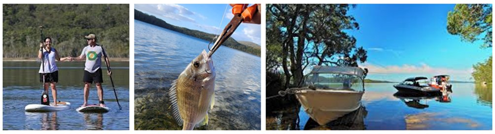
Recreational use of the lake — paddle boarding, fishing, and small-craft boating.
Who to Contact
- MidCoast Council — boating plan compliance, foreshore access, lake entrance management
- NSW Department of Primary Industries (Fisheries) — Marine Estate — fishing permits, zone rules, marine park activities
- Crown Lands, NSW Department of Planning, Housing and Infrastructure — works or access on Crown Land
- NSW Maritime (Transport for NSW) — boating safety, vessel registration, on-water compliance
The full Coastal Zone Management Plan for Smiths Lake Estuary is available in our Documents section.